Road safety experts and bereaved families are uniting to urge local authorities and police forces to adopt a new Vision Zero tool designed to identify and address high-risk locations before crashes occur.
They warn that if the UK is to achieve Vision Zero – the goal of eliminating road deaths and serious injuries by 2040 – authorities must take an urgent, proactive approach to road safety.
The RoadTrace Vision Zero tool, developed by AISIN, uses harsh-braking data from connected vehicles to identify high-risk areas, so that authorities can address potential hazards before crashes happen.
Analysis suggests it is three times more effective at identifying potential collision sites than traditional methods alone.
Traditional methods rely heavily on casualty data – meaning action is only taken after people are killed or seriously injured.
The call to action comes on the heels of chief constable Jo Shiner’s remarks at the National Police Chiefs’ Council Roads Policing Conference 2024, where she warned that continuing to take the same approach to road casualty reduction will lead to Vision Zero being achieved “in 150 years.”
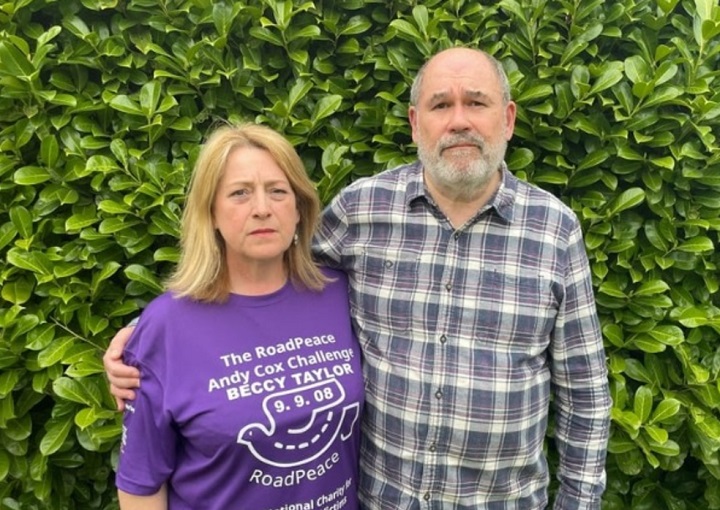
Chris Taylor, whose 18-year-old daughter, Rebecca, was tragically killed in a road crash on the A508 in Northampton in 2008, understands the devastating consequences of reactive approaches.
Rebecca lost control of her car and collided with another vehicle after hitting a large pool of standing water caused by a blocked drain. Since then, Chris and his wife, Nicole, have campaigned for urgent action on preventable road crashes hoping to spare other families from similar heartbreak.
Mr Taylor said: “We should not have to wait for a death for action to be taken, when there is technology that can identify something that is likely to cause an issue for other drivers.”
He added: “One recurring theme in the reports issued by coroners to prevent future deaths is that they often call for action on known issues.
“Many Reports to Prevent Future Deaths are related to highway safety, with a significant portion focusing on road design and maintenance. This includes concerns about bends, crossings, flooding, junctions, inspections, lighting, potholes, road layout, signage, and speed.
“It’s heartbreaking to see that in many cases, the location of a collision is identified as a known blackspot. As you can imagine, this offers no consolation to a family who has lost their loved one.”
Among the UK highway authorities already using the tool is West Sussex County Council. The authority has been using the data to pinpoint precise locations of real driving behaviours, guiding the design of future improvements.
Chris Stark, group road safety manager at West Sussex County Council, said: “RoadTrace is helping to transform road safety. By identifying high-risk areas through connected vehicle data and detailed harsh braking analysis, we have been able to prioritise critical areas on our network before collisions occur.
“This targeted insight is allowing us to prioritise the allocation of public funds more effectively to reduce collisions and serious injuries. The insights delivered by RoadTrace is empowering us to make data-driven decisions to improve road safety.”
I would suggest that in most cases, harsh-braking is a result of going too fast and/or not looking and paying attention to what’s ahead and not anticipating, rather than any environmental factors.
Hugh Jones, South Wirral
+2